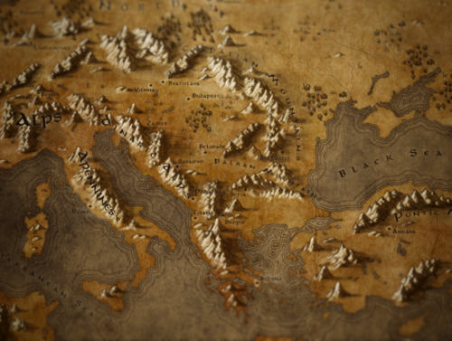
callumogden: Map of Europe in a Fantasy Tolkien Style I’ve been making a few of these style ma
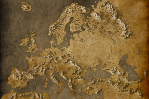
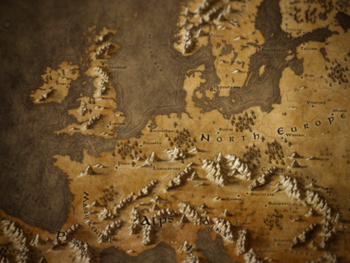
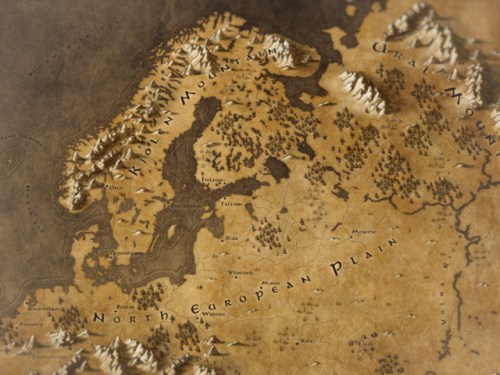
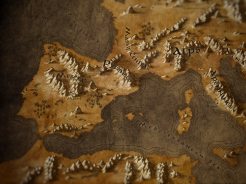
callumogden: Map of Europe in a Fantasy Tolkien Style I’ve been making a few of these style maps recently, I did New England and Scotland previously for fun. Europe was a bigger challenge due to the scale of the place and the fairly complicated coastlines and water features. Particularly around Finland and Sweden (why you have so many lakes?). The whole thing took around 6 hours total. RedBubble - Click here for Prints! If you want more like this, let me know! You can download the high resolution version below for free, and likewise If you want to know how these are made click the other link below for a general outline: Download Full Resolution Version Here [Google Drive 19mb] Download Full Resolution (No Labels) How to: Making a fantasy style map [Via Medium] Instead of trying to label everything accurately, this time I’ve stuck to some islands, most capital cities, and the main mountain ranges as it is supposed to be mostly a geographical map - the density of European borders don’t lend themselves nicely to maps at this resolution. Fair to say there are some issues with text legibility in this - if I started again I’d vary text colour to stand out against mountain ranges - things are only really readable at around 100% zoom. I might come back to this later on and clean things up a bit. Keep reading Google drive links needed updating, should work now! -- source link
#europe#cartography#fantasy maps#tolkien#hobbit#lotrdaily#lotr fanart#middle earth#lotr humor
