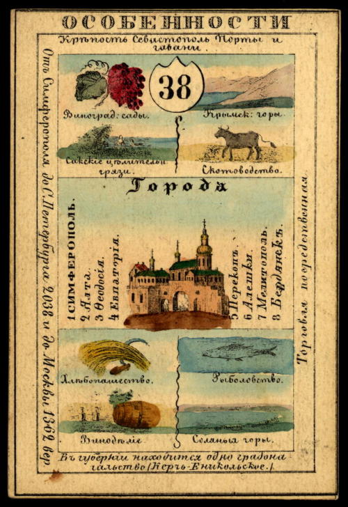
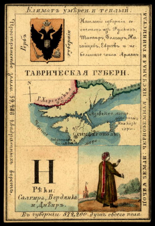
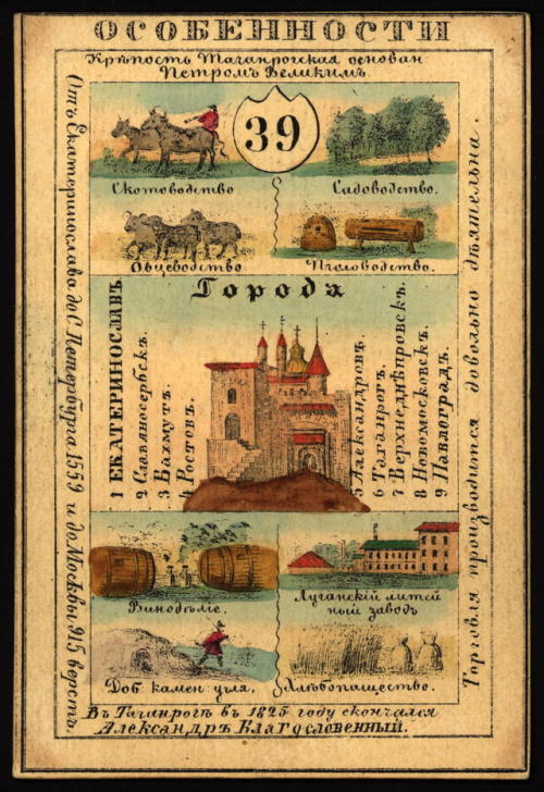
Illustrated cards for the provinces of the Russian Empire (publishedin St. Petersburg 1856). Each c
Illustrated cards for the provinces of the Russian Empire (publishedin St. Petersburg 1856). Each card presents an overview of theprovince’s history, geography, culture and economics. The frontdepicts distinguishing features such as rivers, mountains, and majorcities and industries. The back shows a map of the province, theprovincial seal, information about the population, and a picture ofthe local dress of the inhabitants.The cards shown here are the Podolian, Kherson, Taurida,Yekaterinoslav and Kharkov Guberniyas (governorates). -- source link
#history#art#geography#fashion#russia#ukraine#podolian governorate#kherson governorate#taurida governorate#yekaterinoslav governorate#kharkov governorate#kamianets-podilskyi#kherson#simferopol#yekaterinoslav#dnipro#kharkiv


