Many cartographers started publishing atlases in the late 1500s. In 1570, an inhabitant of Antwerp,
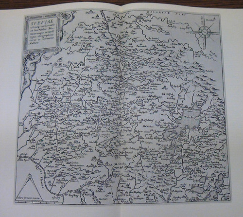
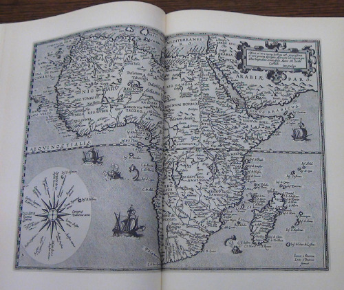
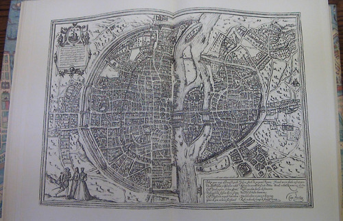
Many cartographers started publishing atlases in the late 1500s. In 1570, an inhabitant of Antwerp, Belgium named Abraham Ortelius published Theatrum Orbis Terrarum (Theatre of the World), which is known as the first modern atlas. Gerard De Jode, also of Antwerp, published a competing atlas in 1578 called the Speculum Orbis Terrarum, with a second edition in 1593. There are only around 20 copies of both editions known to still exist. In Germany, Georg Braun and Frans Hogenberg published six volumes of Civitates Orbis Terrarum between 1572 and 1617. This atlas included maps and plans of cities.The photos below show facsimiles of De Jode’s maps of Africa and Germany as well as Braun and Hogenberg’s map of Paris, France.Images from: Braun and Hogenberg’s Civitates orbis terrarum : ‘The towns of the world’ 1572-1618. The World Publishing Company, 1966.Call Number: G1028 .B7 1966 vol. 1Catalog record: https://bit.ly/2LkKmMEGerard De Jode’s Speculum orbis terrarum : Antwerpen 1578. Theatrvm Orbis Terrarvm, 1965. Call Number: G1015 .J6 1965Catalog record: https://bit.ly/2ICPRVe -- source link
#maps#atlases#maps & atlases#atlas#georg braun#frans hogenberg#cartographers#noel collection


